Spatial AI for challenging real world settings

The challenge

  • High-stakes decisions in engineering, environmental assessment, insurance and beyond still rely on expensive field surveys.
  • Manual surveys are slow, labour intensive and prone to human error.
  • Need to find something new? Another costly site visit is needed.
Our solution

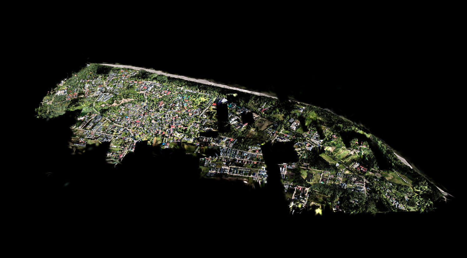
  • Drones can image large sites in minutes; autonomous vehicles can reach places people cannot.
  • Spatial intelligence turns survey data into searchable, actionable 3D understanding.
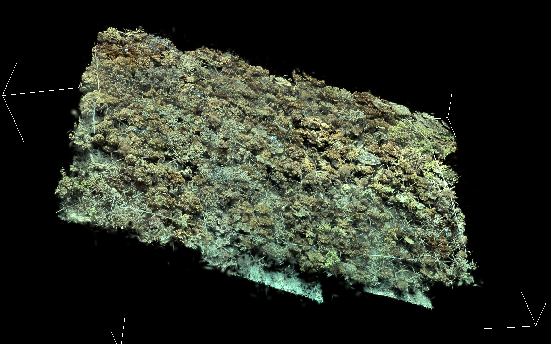
  • Akropora's solutions are tested in complex real-world settings from cities to coral reefs.

Demos

Akropora is here to solve your real-world spatial, image and audio data challenges.

Natural language

Search across your data in plain English

We make your data searchable, be it 2D imagery or 3D models. Use this feature to find anything and everything, no matter how large or complex your dataset is. Reverse image and audio search concepts as needed.

Rapid classifier development

Supercharge AI by injecting your expertise

Many challenges are too hard for off-the-shelf AI. Our model works with you to get your expert labels on a tiny subset of data in minutes, then instantly updates itself into a highly accurate detector.

Our services

What we offer

Akropora works with 2D imagery, 3D models and audio data from challenging real-world settings. If it seems too difficult for AI, then Akropora is here to fix that. We offer:

  • High-resolution, lightweight 3D models that open in a web browser using Gaussian splats.
  • AI integrations including plain-English search across the model and the underlying survey imagery.
  • Generate highly accurate detectors for difficult classes using fast human-guided model tuning.
  • Scale expert input across 2D imagery, 3D data or audio.
  • Get to the details satellite imagery can't see, locate the rarest objects in mountains of image data, find acoustic signals across years of audio recordings, and more.

Coming soon

Agent-led surveys

Upload survey data, set the analysis goal, and let an agent organise the workflow, request light touch human input for model tuning, and return analytics and reports in the format you need.

Field survey support

Work with us to design and gather the right data, from drone imagery to underwater surveys to passive acoustic surveys.

Partner with us

We are looking for founding partners.

If you run surveys in challenging real-world environments, we want to build with you. Work with us to design a solution around your data, whether that is a spatial twin, AI detector, natural-language search workflow, or a faster path from survey data to decision-ready evidence.

  • A first workflow built around your site, data and decision problem
  • Hands-on support for 3D modelling, search and detector tuning
  • Early access to agent-led analysis and reporting as it ships

Bring your own data — we are looking for partners who work with drone imagery, underwater surveys and other domains where you have data in need of analysis.

Portrait of Ben Williams

Ben Williams, PhD

Meet the founder

Built by someone who knows the field

A marine biologist turned AI researcher, Ben holds a PhD in AI for coral reef monitoring from UCL, where he garnered extensive AI and real-world field expertise. He has won numerous awards, completed PhD internships at Google DeepMind and Mars, authored 15 scientific papers, and led research featured in global media outlets including Time, Forbes and Bloomberg. Ben has also given a TEDx talk on "How AI Is Helping Transform Coral Reef Conservation". Read more on Ben's website.

Get in touch

Partner with Akropora

Email our founder directly: ben@akropora.com

Or schedule an appointment here

Supported by